
The integration of advanced technologies in architecture has redefined how buildings and landscapes are designed, constructed, and maintained. Among these, drone mapping has emerged as a game-changer, offering unprecedented precision and efficiency in capturing topographical data.
Architects and urban planners alike are now turning to drones as essential tools in their workflows, with one key component driving this innovation: RTK receivers.
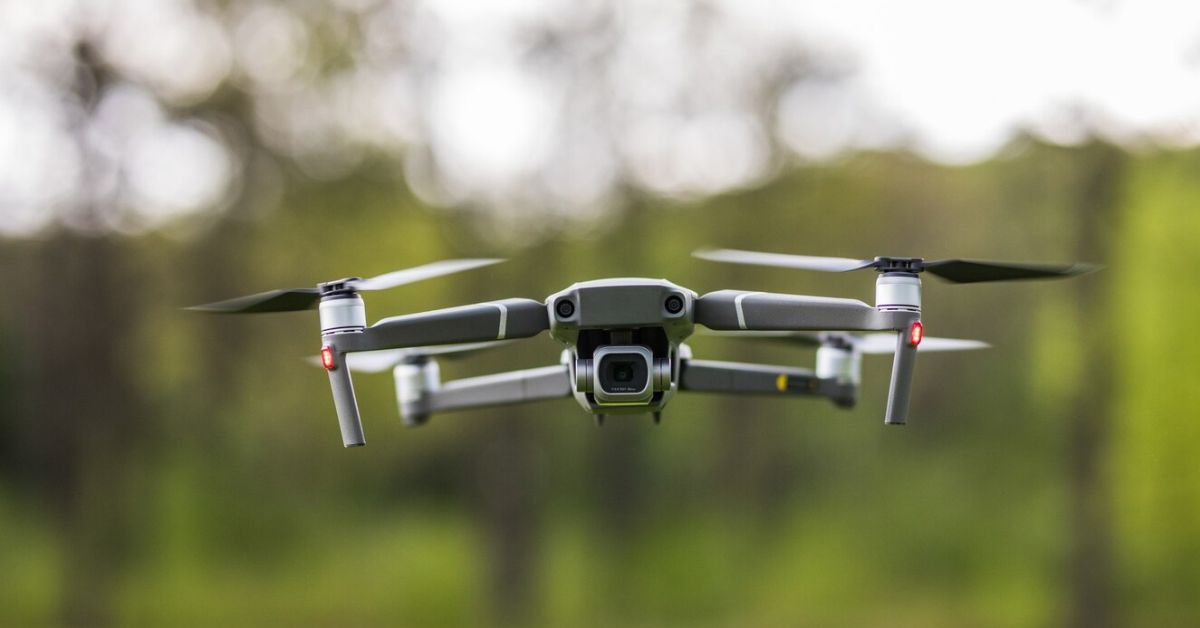
RTK (Real-Time Kinematic) receivers are crucial for enhancing the accuracy of drone-captured data. They allow for centimeter-level precision in positioning, ensuring that the data collected through drones is reliable and usable for architectural design, construction planning, and post-construction monitoring. This technology, combined with drones, is not just transforming how architects capture data but also how they conceptualize their designs.
The Rise of Drone Mapping in Architecture
Drones have been used in surveying for years, but their role in architecture has evolved significantly in recent times. What was once considered a specialized tool for aerial photography is now an indispensable part of the architect’s toolkit. By incorporating drones into their workflows, architects are able to streamline their design processes and reduce the time spent collecting data on-site.
Drones equipped with high-resolution cameras and RTK receivers allow architects to obtain highly accurate and detailed aerial images of building sites, existing structures, and surrounding environments. This data can then be used to create 3D models, which are crucial for making informed design decisions. Architects no longer have to rely solely on traditional surveying methods or manually created 2D blueprints, which can sometimes be prone to error.
The shift to drone mapping brings several immediate benefits. For starters, it dramatically speeds up the process of data collection. What once took days or weeks of manual surveys can now be accomplished in hours with drones, enabling architects to get real-time feedback on how their designs fit into the physical space. This reduces the risk of design flaws that could otherwise emerge only after construction begins.
Additionally, the precision afforded by RTK-equipped drones ensures that the data architects are working with is accurate to within centimeters. This level of detail is essential for large-scale projects, such as urban planning and infrastructure development, where even the smallest discrepancies can lead to significant issues down the line.
Transforming Design and Visualization
Once drones collect the necessary data, the next step is translating it into a digital representation of the site. Thanks to advancements in software, this data can now be used to create highly accurate 3D models of the site. These models allow architects to visualize their designs in a real-world context, providing a more nuanced understanding of how a building will interact with its environment.
For instance, with drone mapping, architects can study how sunlight will affect a building’s structure throughout the day, identify potential obstructions, and evaluate how the building will appear from different perspectives. These insights would be difficult—if not impossible—to gain through traditional methods alone. Moreover, the ability to view a building or structure in 3D provides a much more immersive experience for clients, stakeholders, and city planners, making it easier to communicate design concepts.
In a world where aesthetics and functionality are paramount, the precision of drone mapping allows for a much more refined approach to architectural design. Architects can adjust their designs based on real-time feedback, ensuring that they’re not just meeting their creative vision but also adhering to the practical requirements of the space.
Revolutionizing Construction and Monitoring
Drone mapping isn’t limited to the initial stages of architectural design; it also plays a vital role throughout the construction process. With the data captured through drones, architects and construction managers can monitor a project’s progress in real time. This capability is particularly valuable for large, complex projects, where maintaining alignment with the original design can be challenging.
By regularly capturing aerial images, construction teams can track their progress against the planned design, making adjustments as needed to avoid costly mistakes. Drones also provide a valuable tool for assessing the site’s overall conditions, such as topography and environmental factors, which can influence construction methods and material choices.
Moreover, drones offer a cost-effective way to conduct post-construction inspections. Once a building is complete, drones can be flown over the structure to assess its condition, checking for any signs of wear or structural issues. This remote inspection reduces the need for scaffolding or other potentially hazardous on-site activities, improving safety for workers and reducing costs.
Drone technology, combined with RTK receivers, is thus driving a revolution in the construction industry, allowing for smarter, more precise management of building projects. It helps to bridge the gap between the design phase and the construction phase, providing continuous oversight and insight from start to finish.
Future Implications: Expanding the Role of Drones in Architecture
The integration of drone mapping into architectural workflows is still in its relatively early stages, but the potential for future growth is immense. As technology continues to advance, drones will likely become even more sophisticated, with greater capabilities and even higher levels of precision.
Looking ahead, drones could play a key role in the maintenance and management of existing buildings. By conducting regular aerial inspections, architects and building owners could identify potential problems early, allowing for timely repairs and upkeep. In the future, drones might even be used for tasks such as 3D scanning and material delivery, further streamlining the building process.
Moreover, as drone mapping technology becomes more accessible and affordable, its use could expand to a wider range of architectural projects, including residential homes, smaller commercial buildings, and even temporary structures like exhibition pavilions or event spaces.
As drones continue to shape the future of architecture, they will undoubtedly become an indispensable part of the design, construction, and management process, enabling architects to push the boundaries of what’s possible in the built environment.